When: November 16, 11:30-12:20pm
Where: Olin Hall, Room 320
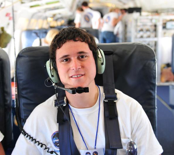
Presenter: Brandon Furey
The objective of the land research group in the NASA Student Airborne Research Program was to develop tools to better monitor crop water status. This is useful to farmers to avoid over-watering so that irrigation can be more efficient. Water is becoming an increasingly scarce and expensive resource in California and so efficient irrigation in farming is a necessary best practice. To evaluate the effectiveness of irrigation, evapotranspiration (ET) can be used to determine the water flux. Spatially mapping ET relies on remote sensing data and computer models. Two evapotranspiration models were applied to almond and pistachio orchards in California. Airborne remote sensing data from the MASTER hyperspectral imager onboard the NASA DC-8 was used in the application of these models. An evaluation of the models showed that they both followed the same pattern in ET rates for different types of ground cover. An analysis of the differences and relationship between the models as well as a general overview of how actual and potential ET is used to analyze water stress will be discussed.

Lunch will be served.
This presentation is part of the MCS Seminar series; please see the calendar of upcoming events. Also please email suggestions for future seminars as well as any questions.
Leave a Reply
You must be logged in to post a comment.